To view the route on your mobile device you need to have Google Maps installed.
Description of the route and surroundings
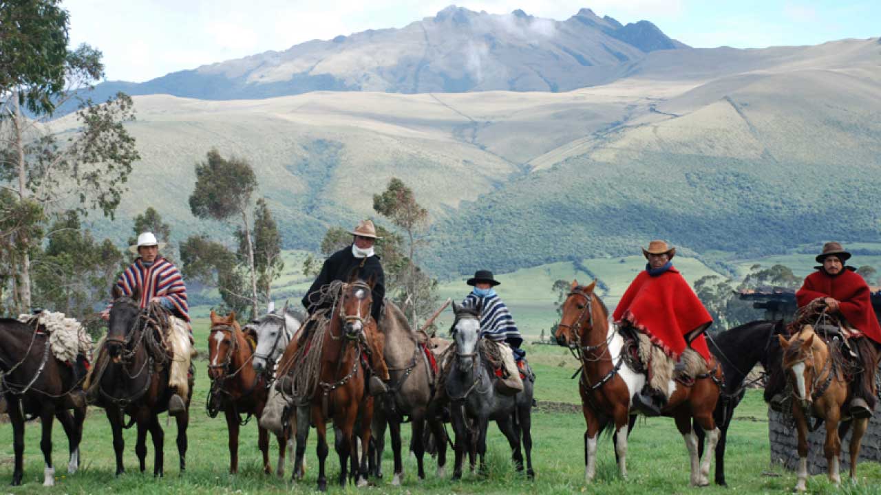
It starts in Papagayo, going up to Umbria in the direction of Corazon passing the Cumbiteo forest, where you can take pictures of the Machachi valley, the return is done by an alternate path completing a circuit until you reach Papagayo.
The terrains of this route are of second and third order, accessing great natural viewpoints of the Machachi Valley and its surroundings. The best season to visit this place is in the dry season.
The average temperature is 12° C.
Technical Information
Distance: 17.7 km
Minimum altitude: 3,158 meters above sea level.
Maximum altitude: 3,718 meters above sea level.
Aproximate travel time: 4 - 5 hours.
Difficulty: Medium
Points of Interest along the route
NATURAL
Corazón Volcano
Panoramic view of the Avenue of the Volcanoes.
CULTURAL
Chagra Culture


 José Mejía E-50 y Bolívar
(Frente al Parque Central de Machachi)
Phone: 381 9250 Ext. 162
José Mejía E-50 y Bolívar
(Frente al Parque Central de Machachi)
Phone: 381 9250 Ext. 162
