


MUNICIPALITY OF MEJÍA
 José Mejía E-50 y Bolívar
(Frente al Parque Central de Machachi)
Phone: 381 9250 Ext. 162
José Mejía E-50 y Bolívar
(Frente al Parque Central de Machachi)
Phone: 381 9250 Ext. 162
IMPORTANT LINKS
6 Hours
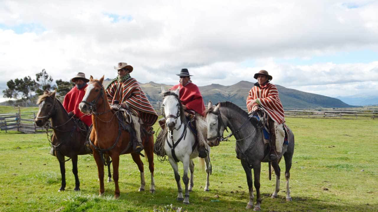
Turismo Ecuestre
Equestrian Tourism
To view the route on your mobile device you need to have Google Maps installed.
Description of the route and surroundings
This route leaves from Papagayo, heading south following roads surrounded by haciendas. In a segment it follows the road next to the railroad line until the sector called La Comuna. On the way back, it ascends to the Pucará Hill, which offers a spectacular view of the Avenue of the Volcanoes.
On the return trip, it passes through the Umbría hacienda and finally arrives at Papagayo. The terrain along this route is of second and third order. Along this route the natural and rural landscape of the Avenue of the Volcanoes predominates. The best season to visit this place is in the dry season.
The average temperature is 12° C.
Technical Information
Distance: 7.2 km
Minimum altitude: 3,120 meters above sea level.
Maximum altitude: 3,718 meters above sea level.
Aproximate travel time: 6 - 8 hours.
Difficulty: High
Points of Interest along the route
NATURAL
Ilinizas Ecological Reserve
Volcanoes: Ilinizas / Corazón
Panoramic view of the Avenue of the Volcanoes
CULTURAL
Chagra Culture
Member Since Jun 2021
Thoughtful thoughts to your inbox
José Mejía E-50 y Bolívar
(Frente al Parque Central de Machachi)
Phone: 381 9250 Ext. 162
Copyright © 2021 Municipio de Mejía
Desarrollado por Posicionarte
