Description of the Route and Environment
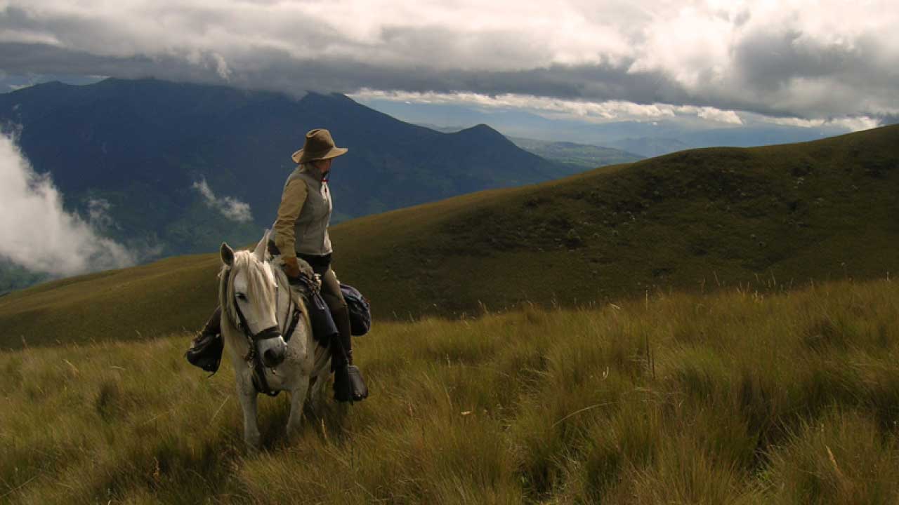
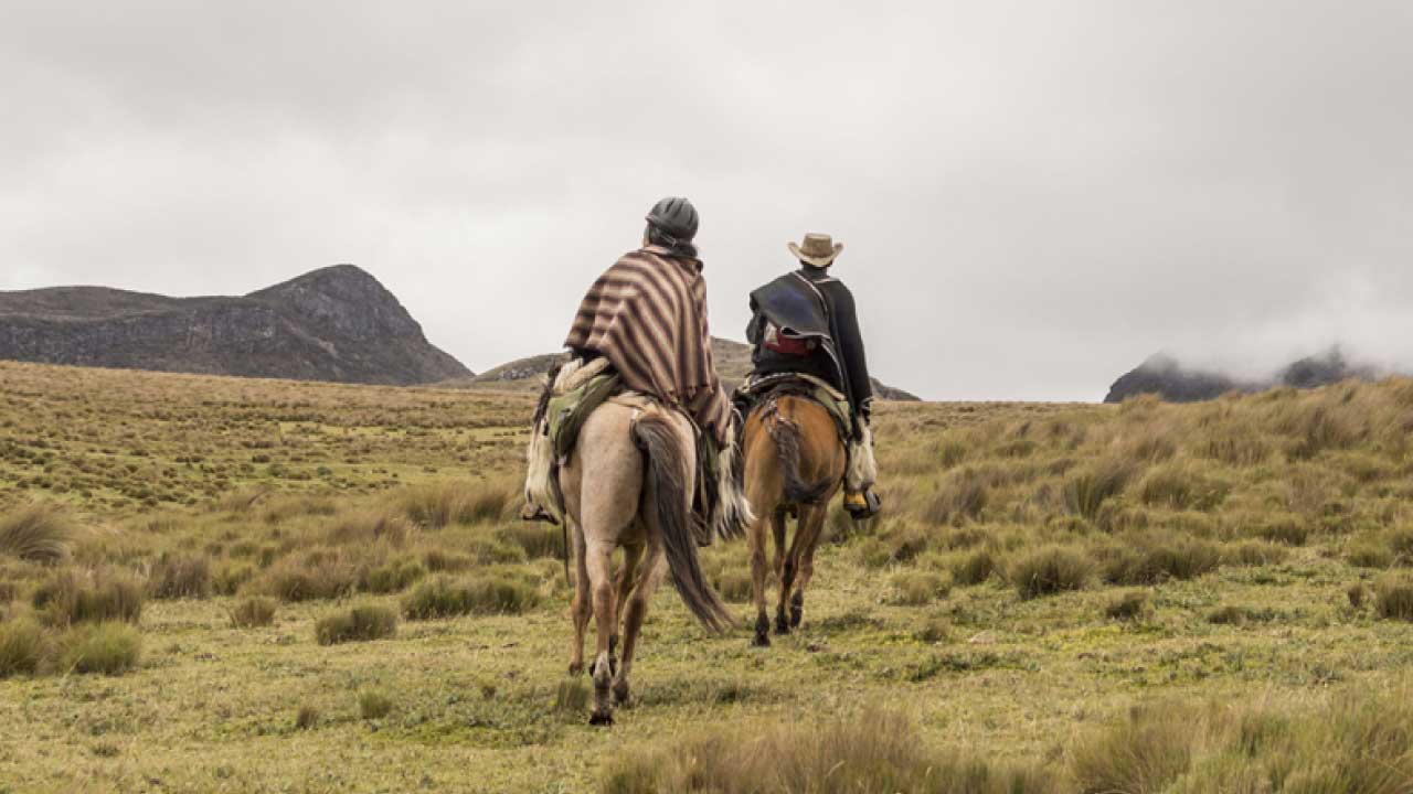
This route goes through part of the Cotopaxi National Park beyond the Pita River to the springs, to then climb the slopes of the Cotopaxi volcano and begin the descent back to Tambopaxi. During the tour you can observe the Cotopaxi volcano, its flora and fauna, until you reach the Pita River.
Afterwards, you can visit the springs in the PNC. The best time to visit this place is during the dry season.
The average temperature is 11° C.
Technical Information
Distance: 18.3 Kms.
Minimum altitude: 3,658 meters above sea level.
Maximum altitude: 4,034 meters above sea level.
Travel time: 2 - 3 hours
Difficulty: Medium
Points of Interest on the Route
NATURAL
Cotopaxi National Park
Volcanoes: Cotopaxi / Rumiñahui / Sincholagua
CULTURAL
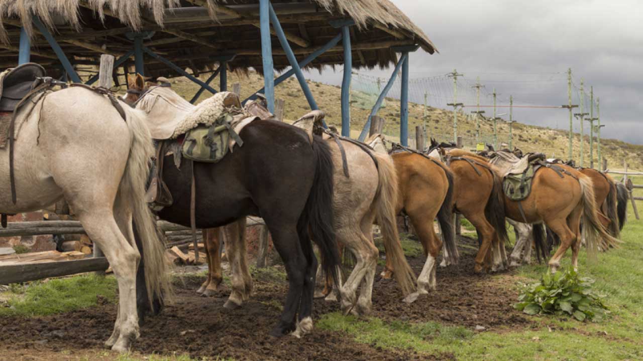
Chagra Culture


 José Mejía E-50 y Bolívar
(Frente al Parque Central de Machachi)
Phone: 381 9250 Ext. 162
José Mejía E-50 y Bolívar
(Frente al Parque Central de Machachi)
Phone: 381 9250 Ext. 162
